Why Some Georgia Areas Show Sudden Tree Loss When You Check Google Maps
Georgia caught my attention the moment I noticed whole patches of trees missing from spots that used to look full and shaded on Google Maps.
It feels strange scrolling around and suddenly spotting bare shapes where green blankets used to be.
I keep zooming back in like I might’ve imagined it, but the gaps keep showing up and tugging at my curiosity even more.
And honestly, each missing cluster makes you wonder what’s happening on the ground long before most people even realize anything changed.
1. Chattahoochee National Forest Northern Section
Logging activities near Blairsville have transformed parts of this beloved mountain region over recent years.
Satellite imagery around Highway 129 and areas near Vogel State Park shows patches where thick forest cover vanished between imagery updates captured just months apart.
Local residents in Georgia noticed the difference when hiking trails that once felt shaded and cool suddenly opened up to bright sunlight streaming through.
Commercial timber operations are responsible for much of this change as companies harvest pine and hardwood for construction materials used nationwide.
Wildlife like black bears and white-tailed deer now must travel farther to find shelter and food sources they once relied upon daily.
The address near 7745 Highway 129 North in Blairsville shows particularly noticeable changes when comparing older and newer satellite photos available online.
Regrowth will eventually occur, but it takes decades for forests to return to their original density and ecological balance.
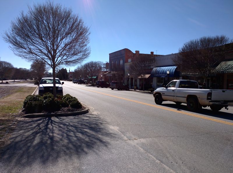
2. Atlanta Metropolitan Sprawl Zone
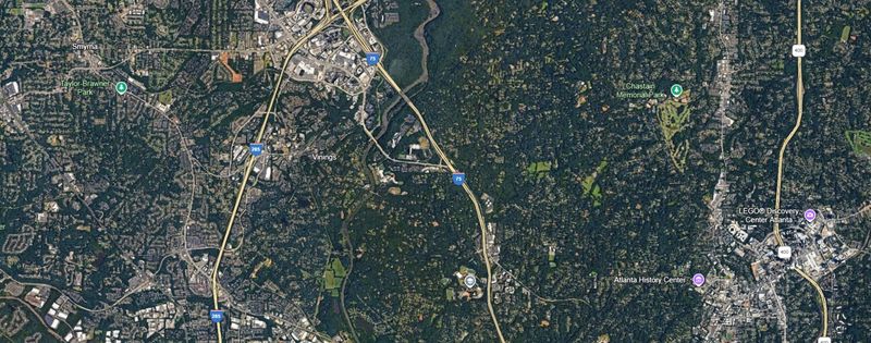
Housing developments continue swallowing wooded areas around Gwinnett and Forsyth counties at an alarming pace that surprises even longtime Georgia residents.
Neighborhoods near Buford around 3675 Braselton Highway have expanded rapidly, replacing oak and pine groves with shopping centers, schools, and residential streets lined with young saplings.
Google Maps reveals entire square miles transformed from green canopy to rooftops and parking lots within just a five-year window between satellite image captures.
Families moving to Georgia seeking affordable homes often don’t realize their new subdivisions stand where thriving ecosystems existed not long ago.
Songbirds, squirrels, and other creatures once abundant in these areas have been pushed into smaller remaining patches of woodland that continue shrinking yearly.
Local governments struggle to balance economic growth with environmental protection, often prioritizing development over conservation when making zoning decisions.
Tree ordinances require some replanting, but young trees take years to provide the shade and habitat that mature forests offered immediately.
3. Savannah River Site Border Region
Industrial expansion along the Savannah River near Augusta has cleared significant acreage that once supported diverse plant and animal communities throughout Georgia.
Areas around 3564 Atomic Road in Beech Island show dramatic differences when toggling between historical and current Google Maps satellite views available to anyone.
Energy facilities and related infrastructure require vast cleared zones for safety and operational purposes, leaving behind barren landscapes where loblolly pines once towered overhead.
Environmentalists worry about erosion along riverbanks now exposed to direct rainfall and runoff that previously got filtered through layers of vegetation and root systems.
The red clay soil characteristic of Georgia becomes highly visible in these cleared zones, contrasting sharply with the surrounding green forest that remains intact.
Water quality downstream could suffer as sediment washes into tributaries without tree roots holding soil firmly in place during heavy rainstorms common in this region.
Restoration efforts would require decades and significant investment to bring back anything resembling the original forest ecosystem that existed before clearing began.
4. South Georgia Agricultural Conversion Areas
Farmers throughout Georgia continue converting forested land into cropland to meet growing demand for peanuts, cotton, and pecans that drive the state’s agricultural economy.
Near Tifton around 2360 Rainwater Road, satellite images reveal former woodlands transformed into neat rows of cultivated fields stretching toward the horizon in every direction.
Economic pressures encourage landowners to maximize productive acreage even when it means removing trees that have stood for generations on family properties.
This practice changes local weather patterns slightly as fewer trees mean less moisture released into the air through transpiration, potentially affecting rainfall over time.
Bobwhite quail and other ground-nesting birds lose critical habitat when forests transition to open farmland dominated by single crops rather than diverse plant species.
Georgia’s agricultural output increases with each acre brought into production, but environmental costs include reduced carbon storage and diminished natural beauty across rural landscapes.
Some farmers maintain tree buffers between fields, but many prioritize maximum planting area over conservation when deciding how to use their Georgia property.
5. Okefenokee Swamp Periphery
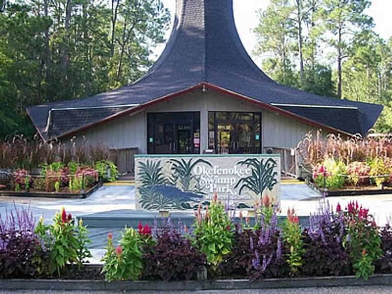
Wetland forests surrounding this massive swamp have faced pressure from drainage projects and timber operations that alter Georgia’s unique aquatic ecosystems permanently.
Around Folkston near 3864 Swamp Road, Google Maps shows areas where cypress and tupelo trees once thrived in shallow water but now appear as cleared zones.
These trees play crucial roles in filtering water, providing nesting sites for wading birds, and supporting the complex food web that makes the Okefenokee special.
Alligators, otters, and countless fish species depend on the shade and submerged roots that wetland forests provide throughout their life cycles in Georgia waters.
Removing trees from swamp edges increases water temperature and allows invasive plants to colonize areas where native vegetation previously dominated without competition.
Legal protections exist for core swamp areas, but peripheral zones remain vulnerable to development and resource extraction that gradually nibbles away at habitat edges.
Once wetland forests disappear, restoring them proves extremely difficult because altered hydrology prevents natural regeneration that would occur if water patterns remained unchanged.
6. Pine Mountain Ridge Development Corridor
Vacation homes and resort developments along this scenic ridge have removed substantial forest cover that once made the area attractive to visitors seeking Georgia’s natural beauty.
Near Warm Springs around 18005 Roosevelt Highway, satellite imagery reveals hillsides stripped of trees to make room for buildings offering mountain views ironically created by removing mountains’ trees.
Developers market these properties as nature retreats, yet construction requires bulldozing the very ecosystems that gave the location its original appeal and character.
Soil erosion becomes problematic on steep slopes once tree roots no longer anchor the earth, leading to mudslides during Georgia’s intense thunderstorms each spring and summer.
Native wildflowers and understory plants vanish along with canopy trees, eliminating food sources for butterflies, bees, and other pollinators essential to regional agriculture.
Property values may initially rise with development, but long-term environmental degradation could eventually make the area less desirable as natural features continue disappearing from Georgia’s landscape.
Stricter building codes could preserve more existing trees, but current regulations allow extensive clearing that prioritizes construction convenience over ecological preservation efforts.
7. Coastal Georgia Barrier Island Modifications

Barrier islands along Georgia’s coast have lost maritime forests to storm damage, development pressure, and sea level changes affecting these fragile ecosystems in multiple ways.
Around St. Simons Island near 550 Beachview Drive, Google Maps comparison reveals areas where wind-sculpted live oaks and palmettos once formed dense thickets but now stand sparse.
These forests protect inland areas from hurricane winds and storm surge while providing critical habitat for migratory birds traveling along the Atlantic flyway each year.
Vacation rental construction often requires removing native vegetation to create ocean views and beach access that property owners and tourists desire when visiting Georgia’s coast.
Salt spray and sandy soil make reforestation extremely challenging once original vegetation gets removed, as few species tolerate the harsh conditions found on barrier islands.
Loggerhead sea turtles benefit from natural beach vegetation that stabilizes dunes where they nest, but cleared areas become vulnerable to erosion that washes away nesting sites.
Conservation groups work to protect remaining maritime forests, but private property rights often take precedence over environmental concerns when development proposals get reviewed by Georgia officials.
8. Middle Georgia Kaolin Mining Districts
Kaolin clay extraction near Sandersville has created vast open pits where forests once covered rolling hills throughout this part of Georgia’s interior region.
Around 1014 Kaolin Road, satellite views show the dramatic contrast between white mining areas and surrounding green woodlands that haven’t yet been designated for extraction.
This valuable clay gets used in paper manufacturing, ceramics, and cosmetics, making it economically important but environmentally costly when considering habitat loss and landscape alteration.
Mining companies must eventually reclaim disturbed land, but restored areas rarely match the ecological complexity and diversity of original forests that took centuries to develop naturally.
Streams and creeks near mining operations sometimes carry sediment that clouds water and affects aquatic life downstream from extraction sites throughout central Georgia counties.
Local employment depends heavily on kaolin operations, creating tension between economic necessity and environmental preservation that communities struggle to balance when making policy decisions.
Google Maps makes these changes visible to anyone curious about how Georgia’s landscape transforms when industrial activities remove forests to access valuable minerals beneath the surface.
9. North Georgia Reservoir Expansion Zones
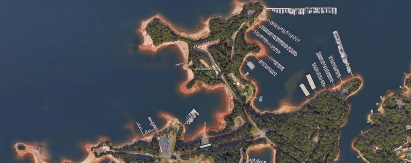
Water supply reservoirs serving Atlanta and surrounding communities have expanded their footprints, flooding valleys and requiring tree removal along new shoreline areas throughout north Georgia.
Near Lake Lanier around 6950 Lights Ferry Road in Flowery Branch, satellite images show where forests once descended to creek banks but now end at higher elevations.
Population growth demands more water storage capacity, forcing difficult choices between preserving forests and ensuring adequate supplies for millions of Georgia residents and businesses.
Submerged trees eventually decay underwater, but the process takes years and initially creates navigation hazards for boaters exploring newly flooded areas of reservoirs.
Wildlife corridors get interrupted when valleys fill with water, forcing animals to find longer routes around reservoirs or attempt dangerous crossings that sometimes end badly.
Lakefront property values increase dramatically, encouraging further development that removes additional trees along shorelines to create the water views that homebuyers seek in Georgia.
Balancing water needs, environmental protection, and recreational opportunities requires careful planning that doesn’t always prioritize forest conservation when competing interests clash over limited resources and space.