How To Tell If Frost Is Coming To Your California Garden Tonight
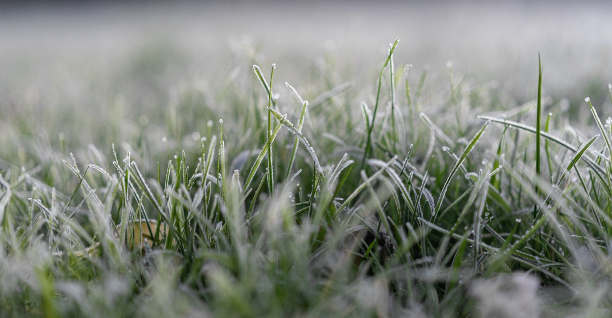
Frost can form on your lettuce while your porch thermometer still reads 36 degrees. I found that out the hard way, staring at limp basil on a morning that never seemed cold enough.
Plant leaves can actually get colder than the air around them on still, starry nights. They lose heat straight up into the sky, a bit like a warm mug cooling on the counter.
Here in California, frost is sneaky because our days often feel mild. A sunny 65-degree afternoon can slide into a crunchy, icy dawn in many inland valleys.
Personally, I now trust a handful of simple clues more than any single number on my phone. Some are written in the sky, some hide in your yard, and one sits quietly in the weather data most people skip.
Ready to learn which signs your plants wish you noticed sooner?
Your Patio Thermometer Is Reading The Wrong Height For Frosty Leaves
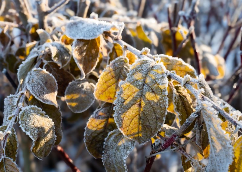
Weather stations measure air temperature about five or six feet above the ground. Your squash and seedlings, however, live way down low, where the air can be several degrees colder on a calm night.
Cold air is heavier than warm air, so it sinks and pools near the soil. Meanwhile, leaves and grass blades give off heat to the open sky. The result is a thin layer of chilly air hugging your garden beds while the official reading looks safe.
Most frost guides treat a forecast low of 36 degrees or below as a warning sign. On clear, still nights, plant surfaces can reach freezing even when the thermometer says it never got there. I’ve seen white crystals on my car windshield and lawn while the reported low was 35.
A smart fix costs only a few dollars. Place a second thermometer near ground level, right among your plants, and compare it with the higher one for a few evenings. You’ll quickly learn how big the gap is in your own yard.
Once you know that number, add it to every forecast you read. A predicted 38 might really mean 33 down by your tomatoes.
A Starry Cloudless Sky Is The Biggest Frost Warning Above Your Garden
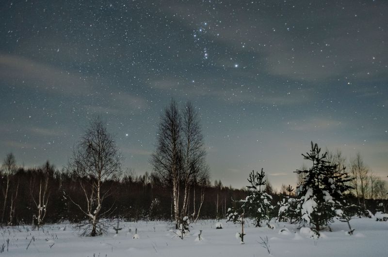
Gorgeous stars are lovely to look at, but they make me reach for my frost cloths. A clear sky is one of the strongest signals that frost may form before sunrise.
Scientists call this process radiational cooling. During the day, soil and plants soak up sunshine. After dark, that stored warmth escapes upward, and with no clouds in the way, it slips off into space fast.
Clouds work like a fluffy blanket over your yard. They absorb some of that outgoing heat and send part of it back down, which keeps temperatures steadier overnight. That’s why cloudy winter nights in California usually stay milder than clear ones.
So step outside after sunset and look up. If you can see lots of stars and the sky looked crisp blue all afternoon, take frost seriously, especially between late fall and early spring.
Watch the trend too. Skies that start clear but cloud over near midnight may spare your garden. Skies that clear late in the evening, often after a winter storm passes, can bring some of the coldest mornings of the season. Those post-storm nights catch many gardeners off guard.
Still Air And Motionless Tree Leaves Mean Cold Is Settling In
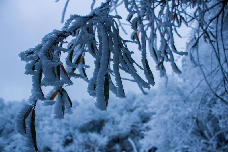
Funny how a silent wind chime can sound like an alarm. When your chimes go quiet and the citrus leaves stop moving at night, cold air has a chance to settle right where your plants grow.
On calm nights, the chilliest air slides down and stays close to the ground. Higher up, there is often a layer of warmer air sitting above it. This setup is called a temperature inversion, and it is common in California valleys during winter.
A steady breeze stirs those layers together. It mixes warmer air from above down to plant level, which often keeps frost from forming. Light or calm winds remove that helpful mixing.
Fun fact: many citrus and vineyard growers use large wind machines for exactly this reason. Those big fans pull warmer air from above the inversion and push it down over the crops.
You can’t rent a wind machine for your backyard, but you can read the wind forecast. If tonight calls for clear skies plus winds under about five miles per hour, consider that a strong double warning. Cover tender plants before you settle in for the evening.
That Low Dew Point Number In Your Weather App Matters
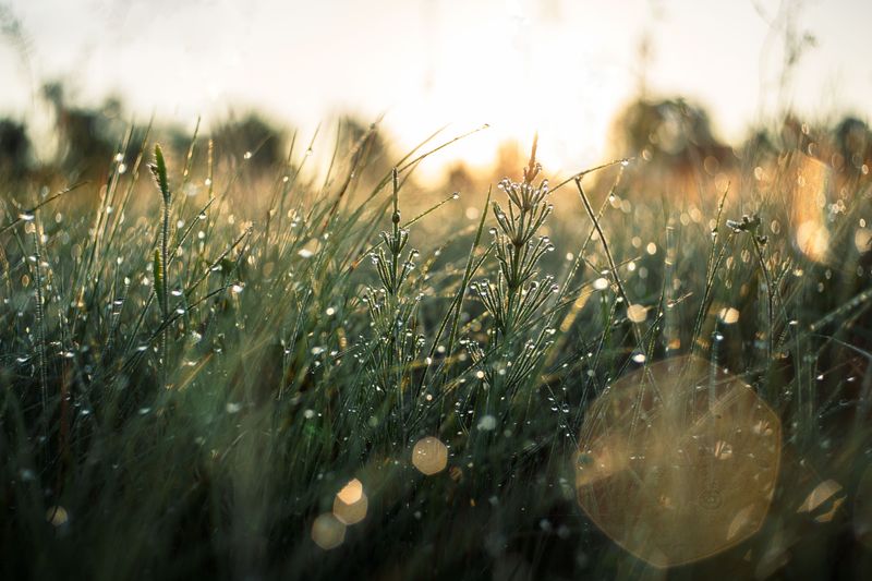
Most of us scroll right past the dew point, and I did for years. It turns out to be one of the handiest frost clues hiding in your weather app.
The dew point is the temperature where air becomes so full of moisture that it starts to condense. Moist air releases a little heat as water vapor turns into dew, and that slows down cooling. Dry air has much less of this built-in brake.
That’s why a low evening dew point is a red flag. Many frost guides suggest that when it drops near or below freezing on a clear, calm night, temperatures can fall quickly toward that number.
Here’s a simple habit. Around dinnertime, check three things: the forecast low, the wind, and the dew point. If the low is in the mid-30s and the dew point sits in the 20s or low 30s, plan on protecting your plants.
Dry desert and inland areas often show this pattern in winter. Foggy coastal neighborhoods, with their damp air, tend to get a natural buffer. Moisture really does act like a small heater for your garden.
Frost Advisories And Freeze Warnings From The National Weather Service
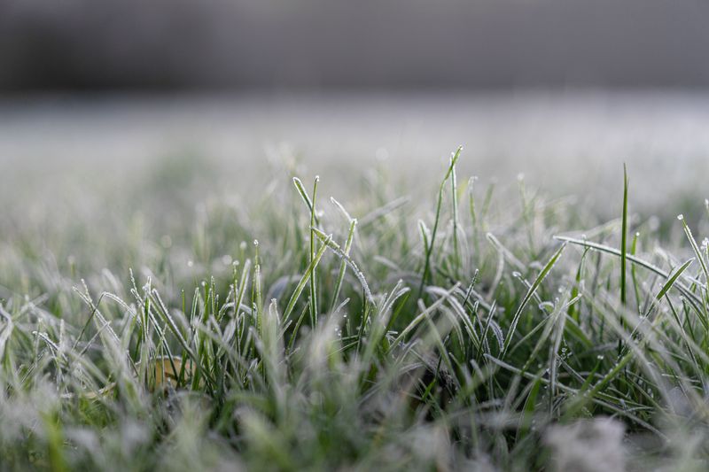
Sometimes the smartest move is letting professional forecasters do the heavy lifting. The National Weather Service issues alerts that tell you exactly when to act.
A Frost Advisory usually goes out when lows are expected in the 33 to 36 degree range, with clear skies and light winds. A Freeze Watch means temperatures at or below 32 are possible in the next day or two. A Freeze Warning means those freezing temperatures are expected, so it’s time to move fast.
Offices tailor these alerts to local areas. One part of a county might get a warning while the coastline stays clear. In some colder regions, offices may stop issuing frost advisories once the growing season is over.
Getting these alerts is easy. Visit weather.gov, type in your zip code, and look for colored banners at the top of the page. Many phone weather apps also push these notices automatically.
I treat an advisory as my cue to gather sheets and buckets. A warning means everything tender gets covered, potted plants move inside, and I water dry beds earlier in the day. Moist soil holds more heat than dry soil.
Low Spots In Your Yard Turn Into Icy Frost Pockets
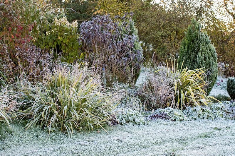
Walk your yard on a frosty morning and you’ll likely spot a pattern. White crystals cover some areas while others look untouched.
Cold air behaves a lot like water. It flows downhill and collects in dips, hollows, and the bottoms of slopes. These frost pockets can run several degrees colder than spots just a few feet higher.
Fences, hedges, and solid walls can trap this cold air like a dam. On the flip side, south-facing walls, patios, and large rocks soak up sun during the day and release warmth slowly at night. Plants tucked next to them often get a cozy little bonus.
Overhead cover helps too. Tree canopies and patio roofs block some heat from escaping, so tender plants under them usually fare better than those out in the open.
Spend a few frosty mornings taking notes or snapping photos. Mark your coldest corners and your warmest nooks. Then use what you learn when planting.
Save the low, open spots for tough winter veggies like kale and garlic. Give frost-sensitive plants, like young citrus, basil, or succulents such as jade, the warm, sheltered places closest to your house.
California Frost Season Changes A Lot From Coast To Mountains
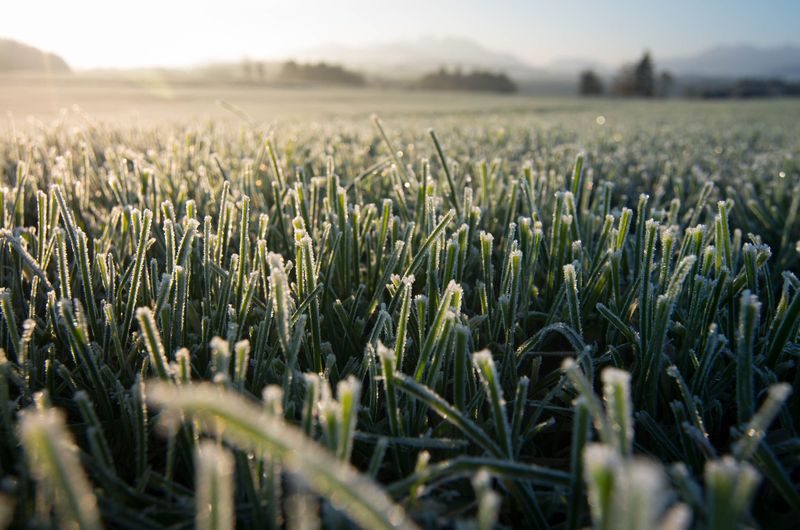
California might be one state, but its frost calendar acts like several. Where you live shapes how often you need to watch for icy nights.
Mountain towns in the Sierra and far northern areas can see frost as early as September and well into late spring. Inland valleys, including much of the Central Valley and many foothill areas, often face frost risk from about mid-November to mid-March. December and January usually bring the coldest mornings.
Coastal neighborhoods tend to enjoy the mildest winters. The Pacific Ocean holds warmth and gently moderates nearby temperatures. In many coastal and Southern California spots, frost is rare, though inland pockets and canyons can still surprise you.
High deserts form their own category. Clear, dry air there sets up big temperature drops after sunset, so freezing nights are common in winter.
Your local UC Master Gardener program is a great place to learn typical first and last frost dates for your area. Keep in mind those dates are averages, not promises. A cold snap can arrive early or late in any given year, so stay alert whenever weather clues line up.