The Best Scenic Drives In Ohio For Peak Fall Color
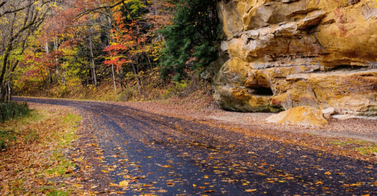
Ohio’s highways get you somewhere fast. Its back roads get you somewhere worth remembering, especially this time of year.
Color doesn’t hit the whole state at once. It rolls north to south over a few weeks, which means the same route can look completely different depending on when you show up.
A handful of roads catch this shift better than the rest, cutting through valleys and ridgelines that put you inside the color instead of watching it pass by.
Show up too early and you’re driving through green. Too late and it’s already brown on the ground.
That narrow window is exactly what makes timing matter more than the route itself.
Check where color’s actually peaking before picking a drive this year. Get the timing right and an average Sunday drive turns into the one you plan around every fall.
1. Chase Waterfalls And Hemlocks Along The Hocking Hills Scenic Byway
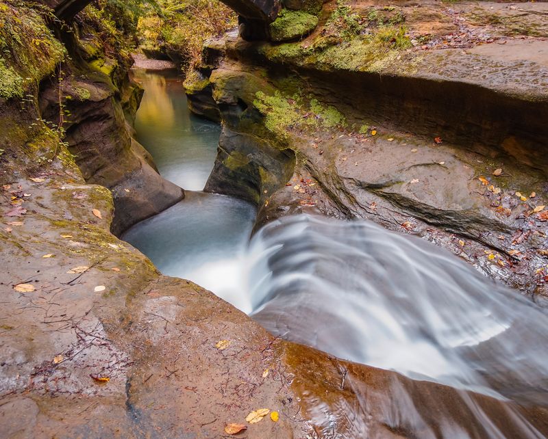
Some places look like they were built just for October, and Hocking Hills is one of them. Sandstone cliffs, misty gorges, and trickling falls turn the whole region into an autumn postcard.
The Hocking Hills Scenic Byway runs about 26 miles through the heart of this rugged country. Plenty of pull-offs and trailheads make it easy to stop whenever a view grabs you.
Here is a handy timing trick locals like to share. Higher spots such as Conkle’s Hollow and Cantwell Cliffs often color up first, around October 10 to 15.
The deep, shaded gorges run a little behind. Old Man’s Cave and Ash Cave usually shine from about October 15 to 25, so a late trip still pays off.
What makes the colors pop is the mix of trees. Sugar maples, birches, and oaks glow red, gold, and orange right next to evergreen hemlocks and pines.
At Old Man’s Cave, you get tall cliffs, rushing waterfalls, and leaves drifting into the water below. Rock House is another fun stop, with a hollow cave tucked into a cliff wall.
Weekends in peak season get busy, so plan ahead. Arrive early in the morning, wear sturdy shoes, and pack a light jacket for the cool gorges.
If you can swing a weekday visit, do it. Fewer crowds mean easier parking and quieter trails where you can hear the falls.
2. Follow The Little Muskingum River On The Covered Bridge Scenic Byway
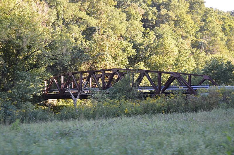
Old wooden bridges have a way of slowing people down. On this southeast Ohio route, you will want to pull over at almost every one.
The Covered Bridge Scenic Byway follows State Route 26 north from the Marietta area. It hugs the Little Muskingum River as it winds through the hills of Wayne National Forest.
Washington County is home to several historic covered bridges, and a handful sit close to this road. Each one feels like a small step back into the 1800s.
Why were bridges covered at all? Roofs kept the wooden floors dry, which helped the bridges last for many more years.
Your Ohio Garden Changes Every Week. Your Plan Should Too.
Gardening in Ohio changes quickly throughout the season. Every Friday you’ll receive a simple weekly plan showing exactly what to plant, prune, fertilize, harvest, and protect so you never miss the right timing.
The drive itself is calm and curvy, with farms, small churches, and river bends along the way. In late October, the hillsides blaze with maples, sycamores, and oaks.
Bring a camera and a little patience. The best photos often come from standing at the river’s edge and framing a bridge with bright leaves around it.
Cell service can be spotty in these hills. Download a map before you go, and fill your gas tank in Marietta since stations get scarce.
Marietta makes a sweet starting or ending point, too. Its brick streets, river views, and cozy cafes are perfect for a warm lunch after the drive.
3. Wind Through State Forest Land On Ohio Route 278
Imagine a road with barely any billboards, only trees stretching in every direction. That is the magic of Ohio Route 278 in the fall.
The highway slips through thick state forest land in Vinton County near McArthur. Tall oaks and hickories line the roadside, turning bronze and gold as the season deepens.
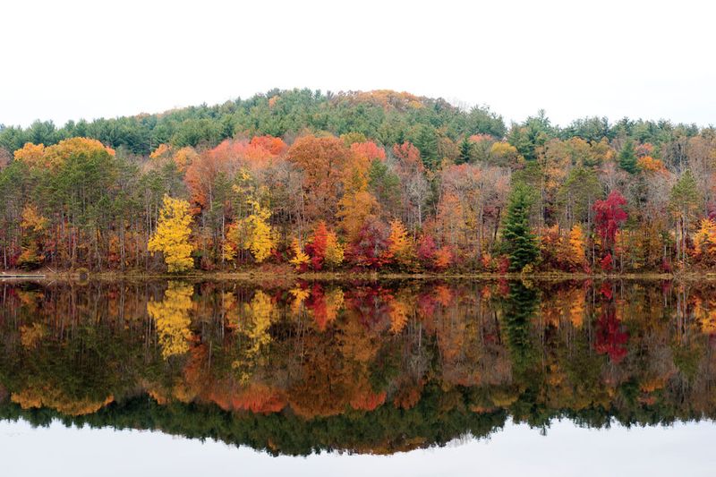
The star stop along the way is Lake Hope State Park. The lake sits tucked into the hills, and on a calm day it acts like a giant mirror for the leaves.
For the best view, stretch your legs on the Peninsula Trail. The path wraps around a finger of land, giving you colorful reflections across the water from many angles.
Route 278 has plenty of twists and hills, so take it easy. Slower driving also means more time to spot deer crossing at dusk.
Fun fact: this area was once busy with iron furnaces in the 1800s. You can still see the old Hope Furnace stone stack near the park.
Pack a picnic, since food options are few out here. A lakeside table with a sandwich and a thermos of cocoa is hard to beat.
Pairing this road with nearby Hocking Hills makes for an easy weekend loop. You get quiet forest in the morning and waterfalls by afternoon.
4. Take In Treetop Views From The Ridges Of State Route 78
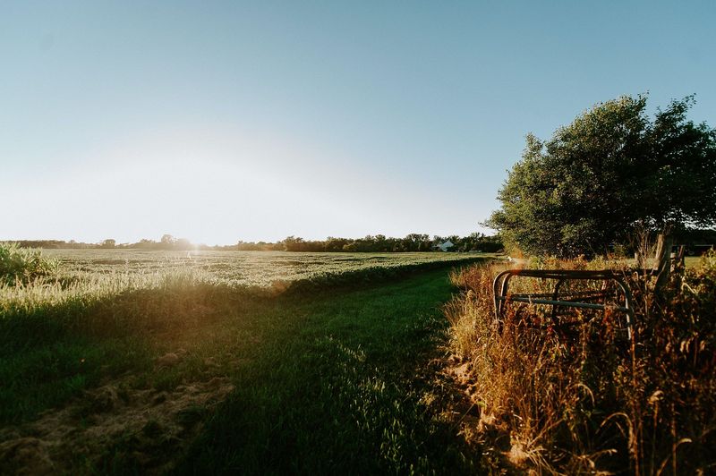
Locals have a nickname for part of this road, and it sets the mood nicely. They call the ridge stretch of State Route 78 the Rim of the World.
Once you climb up there, the name makes sense. The road runs along high ridges in southeast region, and the hills below roll out like a patchwork quilt.
Instead of looking up at the trees, you often look across or down at them. That treetop angle lets you see huge waves of red, orange, and yellow all at once.
The route passes through parts of Morgan and Noble counties and near Wayne National Forest. Small towns and farms dot the valleys, adding barns and silos to the view.
Plan to drive in late October for the richest color in this southern region. Sunny afternoons light up the hillsides best.
Safe pull-offs can be limited on the ridge, so watch for wide shoulders or side roads. Please avoid stopping in blind curves just to snap a picture.
Motorcycle riders love this highway for its sweeping bends. Share the road kindly and keep a steady pace on the hills.
A nearby detour to Burr Oak State Park adds a quiet lake to your day. It is a nice spot to rest before heading back down to the valleys.
5. Make A Full Day Of It On Ohio Route 41 To The Ohio River
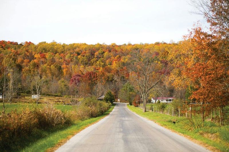
Got a whole Saturday to spare? Point the car south on Ohio Route 41 and let the road take its time.
This long highway rolls through southern Ohio farm country before reaching the Ohio River. Along the way you pass gentle hills, old barns, and small towns full of character.
Adams County is a highlight, with Amish farms and roadside stands selling baked goods. Keep some cash handy for fresh bread, jams, and maybe a pie for later.
The area also sits close to Serpent Mound, a famous earthwork shaped like a coiling snake. A short side trip makes a great history lesson for curious kids.
Southern Ohio tends to peak later than the rest of the state. That means Route 41 can still glow while northern trees are already bare.
Watch for slow buggies on the road, especially near Amish areas. Give them lots of room and pass only when it is safe.
The finish line is the big, wide Ohio River. Standing on its bank with Kentucky hills across the water is a fine reward for a long drive.
Bring snacks, a paper map, and a flexible plan. Some of the best moments on this trip come from stopping wherever something looks interesting.
6. Catch The First Peak Color On Riverview Road In Cuyahoga Valley
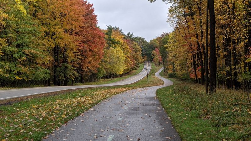
Northern region gets first dibs on autumn, and Riverview Road is a front-row seat. The winding lane runs right through the middle of Cuyahoga Valley National Park.
Peak color here usually shows up in the third week of October. Shorter days are the main trigger, so the timing stays fairly steady year after year.
Sugar and red maples start the party with bright reds, oranges, and yellows. Oaks, black gum, dogwood, and tulip trees join in a bit later.
Riverview Road follows the Cuyahoga River past meadows and wooded hills. It connects to some of the park’s prettiest stops, so plan to hop out often.
Everett Covered Bridge is a short detour and a favorite for photos. Hale Farm and Village adds a taste of pioneer life with old buildings and crafts.
For a big view, head to the Ledges Overlook. From the rock ledge, you can see the colorful canopy spread across the valley.
Waterfall fans should not miss Brandywine Falls or Blue Hen Falls. Leaves floating in the pools below make each one extra charming.
Here is a fun idea: ride the Cuyahoga Valley Scenic Railroad for part of the trip. You get to relax and watch the colors roll by without steering.
7. Cruise Past Hinckley Lake On Ohio Route 303
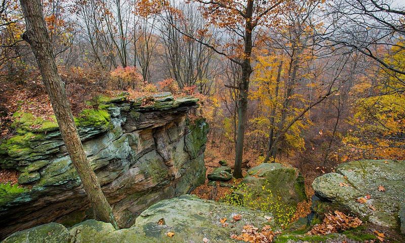
Sometimes the best fall drive is one you can squeeze in after lunch. Ohio Route 303 through Medina County is perfect for that kind of easy outing.
The road rolls through Hinckley Township, with farms and woods on both sides. It brings you close to Hinckley Lake, a scenic gem in Hinckley Reservation.
This reservation is part of the Cleveland Metroparks system, which is known for great fall color. The lake reflects maples and oaks in shades that look almost painted.
Walk the trail around the lake for a relaxing loop. You will cross little footbridges and find benches that face the brightest trees.
Worden’s Ledges and Whipp’s Ledges are nearby, too. These rock formations add a bit of adventure for kids who like to explore.
Here is a quirky local bit: Hinckley is famous for its buzzards. Every March the town celebrates their return, so this area has a playful side.
Mid-October is usually a good target for color in northern region. Check the Metroparks website for updates before heading out.
Finish with a stop at a local orchard or farm stand along Route 303. Warm cider donuts make the ride home even sweeter.
8. Trace The Maumee River From Perrysburg To Defiance
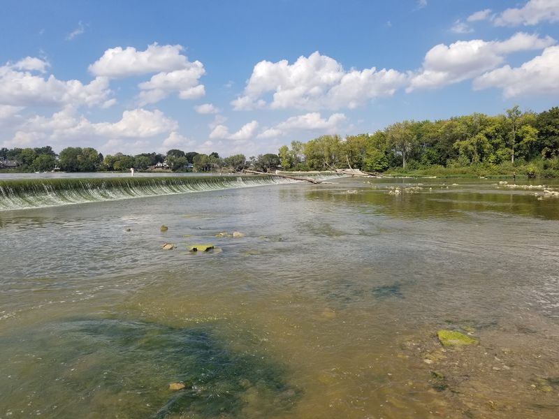
Rivers make wonderful travel buddies, and the Maumee is a steady one. It flows across northwest region , and quiet roads follow it from Perrysburg to Defiance.
Much of the route runs along the riverbank on routes like US 24 and State Route 65. You get water views on one side and colorful trees and farm fields on the other.
Northwest Ohio is fairly flat, so the river and its trees steal the spotlight. Cottonwoods, sycamores, and maples glow gold and red along the water.
The town of Grand Rapids is a charming stop in the middle. Its shops and old canal history make it a great place to stretch your legs.
Nearby Providence Metropark has a restored canal lock and a mule-drawn canal boat in season. Kids can learn how boats once moved goods across Ohio.
History buffs will enjoy Fort Meigs in Perrysburg, a rebuilt fort from the War of 1812. It sets the stage nicely before your drive begins.
At the other end, Defiance sits where the Auglaize River meets the Maumee. It is a pleasant spot to grab a meal and watch the rivers join.
Aim for mid-October for the best color up north. A sunny day makes the river sparkle along with the leaves.